Understanding the Shift: Why Professionals Are Moving from Traditional Methods to Point Cloud Processing

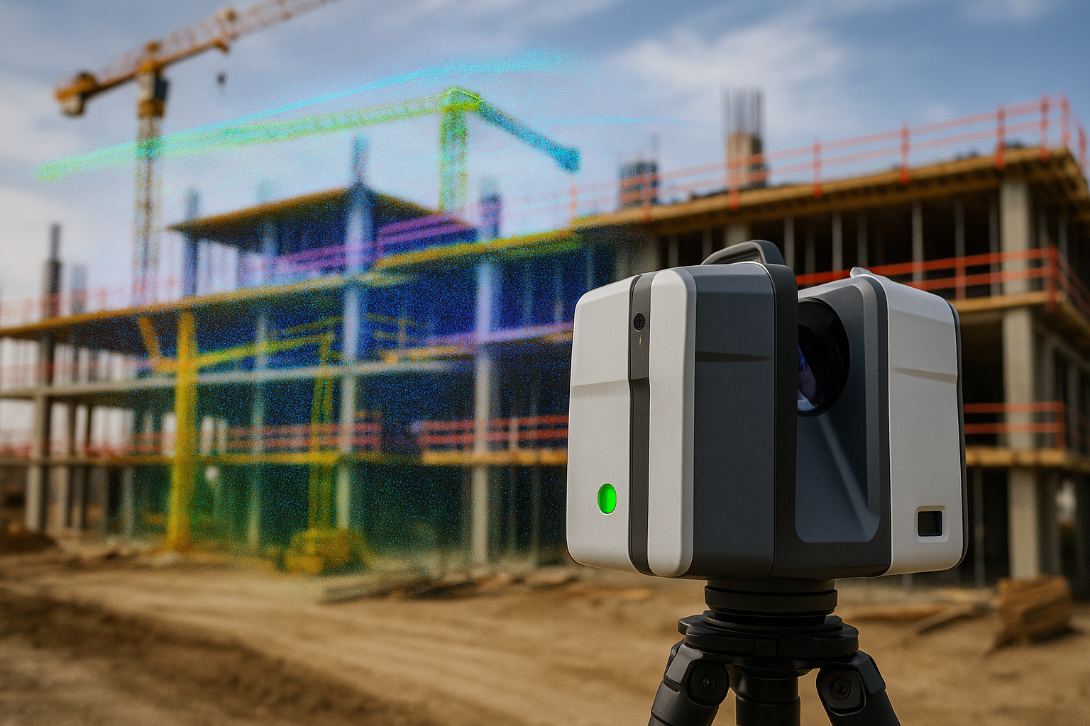
In recent years, there has been a noticeable shift in how architects, engineers, and construction professionals handle measurement and documentation tasks. More and more, point cloud processing is replacing traditional techniques, reshaping industry standards for accuracy and efficiency. The Limitations of Traditional Surveying Methods Traditional surveying and measurement methods, while reliable in the past, often … Read more

The Role of TopoDOT in Modern Surveying: A Comprehensive Overview

TopoDOT has become an essential tool in modern surveying, especially when dealing with large datasets from LiDAR and point cloud data. Its ability to process, analyze, and extract actionable information from these data sources makes it invaluable for civil engineers, surveyors, and construction professionals. This article delves into the capabilities of TopoDOT, its applications in … Read more

How to Integrate Point Cloud Data into Your BIM Workflow

Introduction Point cloud data, often generated by 3D laser scanning or photogrammetry, provides a detailed digital representation of physical spaces. Integrating this data into a BIM (Building Information Modeling) workflow can enhance the accuracy and efficiency of design and construction processes. This article explores the steps and best practices for effectively incorporating point cloud data … Read more