Introduction
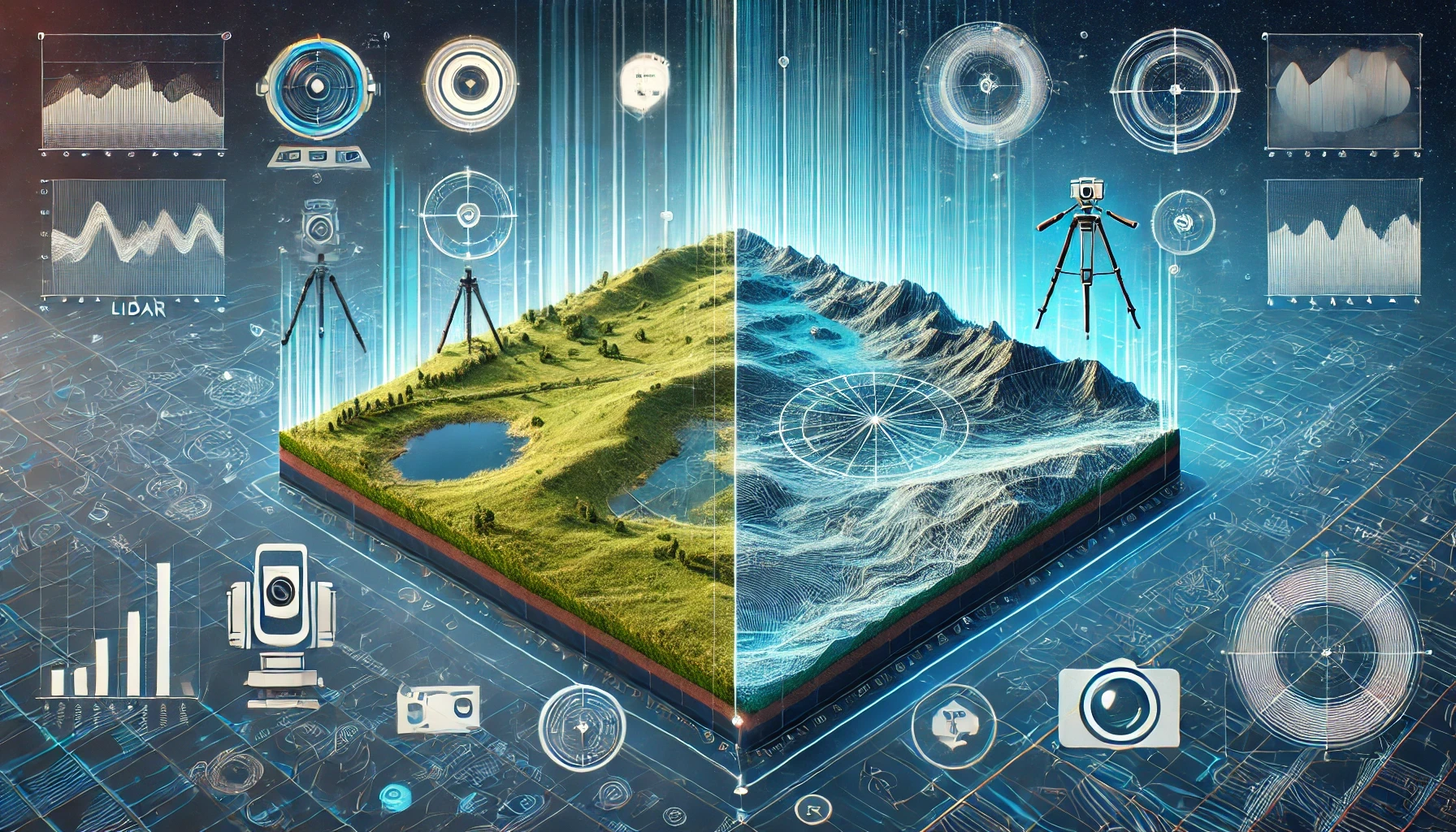
In the realm of topographic mapping, both LiDAR and photogrammetry have emerged as powerful tools, each with its own strengths and weaknesses. As technology evolves, professionals in surveying, construction, and environmental monitoring often find themselves choosing between these two methods for their projects. This article provides an in-depth comparison of LiDAR and photogrammetry, examining their accuracy, applications, and the scenarios in which each excels.
What is LiDAR?
LiDAR, or Light Detection and Ranging, is a remote sensing method that uses laser pulses to measure distances to the earth’s surface. By emitting thousands of laser pulses per second and measuring the time it takes for these pulses to return after hitting an object, LiDAR creates highly accurate 3D models of the terrain. LiDAR is particularly useful in areas with dense vegetation or complex topography where traditional surveying methods might fall short.
What is Photogrammetry?
Photogrammetry is the art and science of making measurements from photographs. By capturing overlapping images from different angles, photogrammetry software can reconstruct 3D models of an area. This technique is often used in mapping and surveying, especially in projects where visual detail is critical. Photogrammetry is widely used in construction, archaeology, and urban planning due to its ability to capture intricate details from high-resolution images.
Accuracy: LiDAR vs. Photogrammetry
- LiDAR: Known for its high precision, LiDAR can achieve sub-centimeter accuracy in certain conditions. Its ability to penetrate vegetation makes it ideal for mapping forested areas or other environments with significant canopy cover.
- Photogrammetry: While photogrammetry can produce highly detailed models, its accuracy is often slightly lower than LiDAR, especially in areas with complex terrain. The quality of the results depends heavily on the resolution of the images and the software used.
Cost and Accessibility
- LiDAR: Generally, LiDAR systems are more expensive to operate due to the cost of the equipment and the need for specialized expertise. However, the cost is justified in projects where high precision is critical.
- Photogrammetry: Photogrammetry tends to be more affordable and accessible, especially with the proliferation of drones and high-quality cameras. It’s often the preferred method for smaller projects or where budget constraints are a concern.
Applications
- LiDAR: LiDAR is the preferred choice for large-scale topographic mapping, forestry, flood risk assessment, and infrastructure development. Its ability to produce accurate models regardless of lighting conditions or ground cover makes it invaluable for certain types of surveys.
- Photogrammetry: Photogrammetry excels in projects that require high levels of visual detail, such as architectural documentation, cultural heritage preservation, and construction site monitoring. It’s also widely used in agriculture for crop analysis and in urban planning for city modeling.
Speed and Efficiency
- LiDAR: LiDAR surveys are generally faster to conduct, especially over large areas. The data collected can be processed relatively quickly, making it suitable for time-sensitive projects.
- Photogrammetry: Photogrammetry requires the capture of multiple overlapping images, which can be time-consuming, particularly in large areas. The processing of these images into a 3D model also takes longer compared to LiDAR.
Choosing the Right Method
- When to Choose LiDAR: Opt for LiDAR when precision is paramount, such as in large-scale topographic mapping, forest surveys, or projects involving complex terrains. LiDAR is also ideal when you need to penetrate through vegetation or when working in low-light conditions.
- When to Choose Photogrammetry: Choose photogrammetry when high visual detail is needed, when the project area is relatively small, or when budget constraints are a factor. It’s also a great choice for projects where aesthetic quality is as important as accuracy.
Conclusion
Both LiDAR and photogrammetry offer unique advantages for topographic mapping, and the choice between the two often comes down to the specific needs of your project. While LiDAR provides unparalleled accuracy and the ability to penetrate vegetation, photogrammetry offers detailed visual representations at a lower cost. Understanding the strengths and limitations of each method will help you make an informed decision, ensuring that your project achieves the best possible outcomes.
